
Business (27)
Children categories
Active Planning Applications (2)
Active Zoning Amendment Applications
The following list contains the current Zoning Amendment applications for the Township of Drummond/North Elmsley. For information on current development applications, please contact the Planning Division at 613-267-6500 ext. 230.
Additional Info
- Tender/RFQ Code Road Landfill Monitoring and Annual Report
- Department Public Works
- Contact Clint Bron
- Email This email address is being protected from spambots. You need JavaScript enabled to view it.
- Due Date Wednesday, 07 May 2025
- Time 11:00am
Additional Info
- Tender/RFQ PW-2025-003
- Department Public Works
- Contact Laura Code
- Email This email address is being protected from spambots. You need JavaScript enabled to view it.
- Due Date Tuesday, 06 May 2025
- Time 11:00am
ZA-25-02 1000543881 Ontario Inc
Subject Lands: 949 Drummond Concession 7, Part Lot 21, Concession 6 Drummond Part 2 of 27R-4419
Public Meeting: 3:00 pm on April 22, 2025
The purpose of the application:
EXPLANATORY NOTE This by-law applies to those lands described located within Phase 1 of the Mobile Home Park Development, which is to be developed in two phases.
THE PURPOSE OF THE BY-LAW IS to amend the Township of Drummond/North Elmsley Comprehensive Zoning By-law 2012-060 to remove the holding provision from the subject lands to permit development.
The full Notice of Intent to Lift Holding Symbol is available below under documents.
ZA-25-01 - 6056628 Canada Inc
Subject Lands: Part 1, 27R-5951, Lot 1 Concession 3, Drummond
Public Meeting: 3:00 pm on March 25, 2025
The purpose of the amendment is to:
- Change the zoning of the lots conditionally approved by consent application B24/114 and B24/115 from Multiple Residential Exception 1 (MR-1) to Rural (RU).
- Change the zoning of the lot conditionally approved by consent application B24/116 from Multiple Residential Exception 1 (MR-1) to Rural Exception X (RU-X) with Parking Lot being an additional permitted use
The full Notice of Public Meeting is available below under documents.
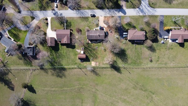
The Planning Department is there to help guide the way the Township grows and is responsible for ensuring the orderly development of both the rural areas and our hamlets. Land use planning is a process which ensures that land and resources are effectively managed and that growth occurs in a manner that the community desires. The planning process is governed by the Province’s Planning Act, and it is the Township’s Official Plan and Zoning By-law which are the daily tools we use to promote attractive and sustainable development while limiting negative impacts on people, neighbours and the environment.


Planning Department Contact Information
Brady McGlade, Planner
This email address is being protected from spambots. You need JavaScript enabled to view it.
Phone: 613-267-6500 ext. 230
Kyra Dobbie, Development Services Clerk
This email address is being protected from spambots. You need JavaScript enabled to view it.
Phone: 613-267-6500 ext. 232
Please note a minimum of 48 hours notice is required for inspections

Apply for a building or demolition permit using the online portal
Apply for a building or demolition permit using the PDF form

Request a building inspection

Septic Services
Frequently Asked Questions
Building Services Team
Peter Echlin
Chief Building Official
613-267-6500 ext. 240
This email address is being protected from spambots. You need JavaScript enabled to view it.
Rick Patterson
Building Inspector
613-267-6500 ext. 213
This email address is being protected from spambots. You need JavaScript enabled to view it.
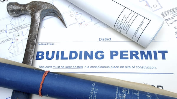
Do You Need A Permit?
Permit Applications and Fees

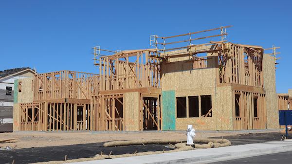
Building, Renovating & Demolition

Planning
Find your Zoning using the Interactive Map
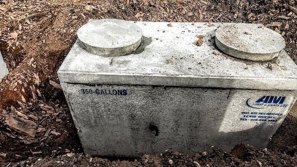
Septic Services
The Township of Drummond/North Elmsley has developed two geographical information system (GIS) maps to help residents and business owners find out the Official Plan and Zoning status of properties within the Municipality. Click on one of the buttons below to view an interactive map.
More...
The Township’s Zoning By-law is the main tool that implements the policies of the Official Plan and it contains the current rules and regulations that guide a specific property’s uses;
- where buildings and structures can be located (e.g. setbacks);
- the types of buildings permitted on a property and
- how they may be used; and how a site can be designed (e.g. required lot sizes, building heights, and parking requirements).
Related Documents
Interactive Maps
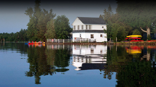
If you are planning to build or alter land (e.g. excavate or fill) near a wetland, watercourse, or along a shoreline, you may require a permit from a Conservation Authority or municipal planning approval.
MVCA and RVCA administer a permitting process to protect people’s lives and property from natural hazards such as flooding and erosion, and to maintain the watershed’s health.

Source Water Protection
Drinking water source protection safeguards public health by protecting the municipal drinking water supply from contaminants like sewage, fuel and chemicals. If water sources become contaminated, treatment can be much more expensive or even impossible.
Ontario’s Clean Water Act provides the legislative framework for Source Protection in Ontario. It ensures communities prevent contamination of their municipal drinking water supplies by developing collaborative, watershed-based source protection plans that are locally driven and based on science.
In Drummond/North Elmsley Township, the Mississippi-Rideau Source Protection Plan applies and has been in effect since 2015. The Mississippi-Rideau Source Protection Plan contains policies to protect our current and future drinking water supplies from threats of contamination or overuse. Municipal drinking water can come from groundwater wells that draw water from underground aquifers, or surface water, which draws water from lakes and rivers. Source protection policies related to significant drinking water threats only apply in designated drinking water protection zones. These vulnerable areas are also known as Intake Protection Zones (IPZ) and Wellhead Protection Areas (WHPA). Different policies apply to different parts of the IPZ or WHPA because certain areas are more vulnerable to contamination.


Site plan control is a site-specific process that is generally required for more complex development (commercial, industrial, multiple unit residential, etc.) and any development in or near environmentally sensitive areas or along the Rideau corridor. The site plan control agreement is registered on title and is intended to guide development on a site to ensure its compatibility with surrounding land uses.
Site plan controls are used to ensure that:
- developments are built and maintained in the way that Council approved;
- new developments meet certain standards of quality and appearance;
- there is safe and easy access for pedestrians and vehicles;
- the appearance and design features of buildings, and their sustainable design, are satisfactory;
- there is adequate landscaping, parking, and drainage;
- nearby properties and waterbodies are protected from incompatible development.
What is a land severance? A land severance is the authorized separation of a piece of land to form a new lot or a new parcel of land. This is commonly known as a consent. It is required, if you want to sell, mortgage, charge or enter into any agreement (at least 21 years) for a portion of your land. If a portion of property is being transferred between a property to an abutting property, a consent application is required for a lot addition.
For a land severance or lot addition proposal to be approved, it must be consistent with the Provincial Planning Statement and conform to the Lanark County Sustainable Communities Official Plan and the Township Official Plan. Additionally, all severed and retained lots must adhere to the Township Zoning By-law